Land Management System - Olayan Group
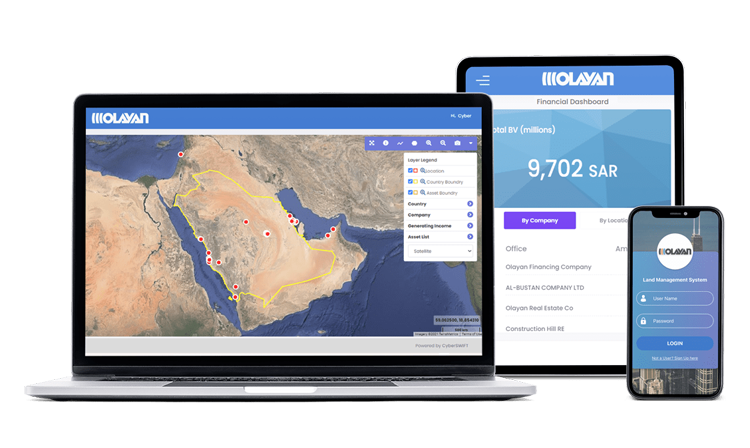
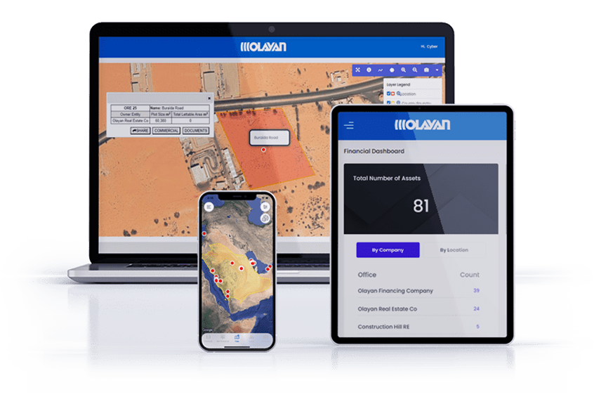
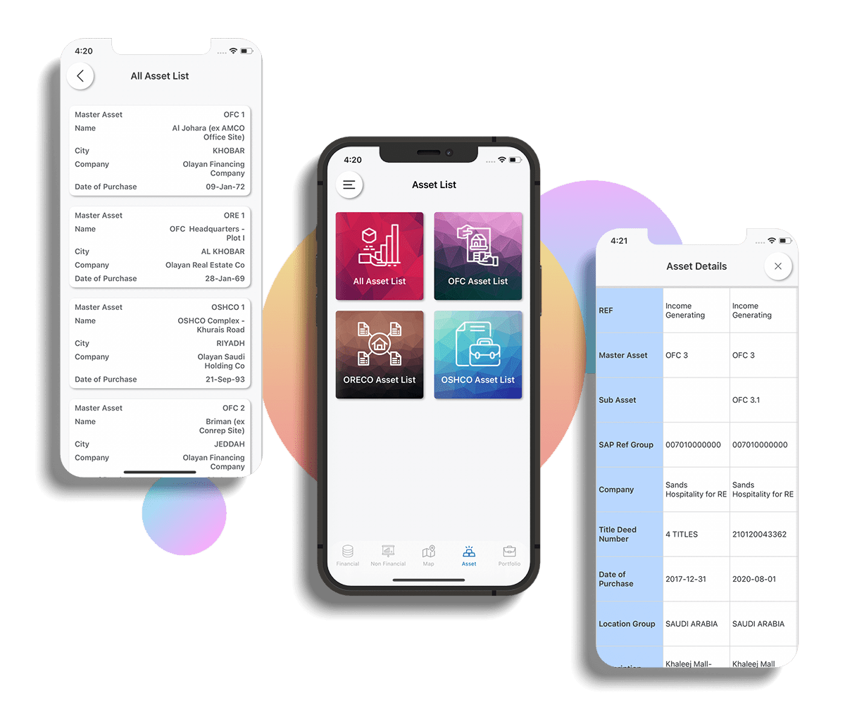
Olayan sought a centralized platform to manage land and asset information, with the specific need to visualize and analyze all plots on a map and access data, records, or documents related to each specific plot or asset.


Client & Project Introduction
Take a glimpse into the success journey of The Olayan Real Estate Management Company Limited (ORECO), a vital part of The Olayan Group. This global entity, with a presence in Saudi Arabia, Europe, and the US, chose LAMS for innovative land management software to steer their real estate endeavors. Initially focused on land acquisitions, ORECO has now expanded into property development, both independently and for external partners.

In search of a modern solution, ORECO needed a central platform to manage and visualize their extensive land and asset records. The goal was to efficiently analyze plots on maps, retrieve specific plot-related data or documents, and oversee the entire process from Pre-Land Acquisition to Post Land Acquisition. They also needed to manage the Rehabilitation & Resettlement (R&R) workflow at various stages.
To meet ORECO's unique challenges. This dynamic, web-based GIS & MIS application was purpose-built for efficient land acquisition management. LAMS facilitated real-time updates of workflow and process-related information, ensuring secure access with password protection and access controls. Serving as a centralized repository, LAMS preserved and refined digital maps and documents, ensuring accessibility and security.


- Layer-wise visualization of Area of Interest, village boundary, plot boundaries, and plot types.
- Leveraging satellite imagery for enhanced visual identification of assets within plots, reducing the reliance on field visits.
- Robust map tools, including zoom-in, zoom-out, pan, square zoom, and drawing tools for area measurement, lines, and polygons.
- Attribute information presented through user-friendly pop-up notifications for streamlined data access.
- Inclusion of legal and litigation-related information for comprehensive assessment and tracking.
Contact Us
Ready to elevate your land management experience with LAMS? Get started today to experience the future of land management firsthand. Contact us for a demo, request a quote, or explore our solutions to see how LAMS can transform the way you manage your land assets.
