What We Do
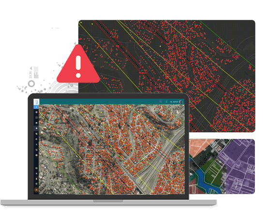
Effective land management goes beyond ownership—it involves safeguarding your land from unauthorized encroachments. At LAMS, we understand the importance of maintaining the integrity of your land assets. Our Encroachment Detection services are designed to proactively identify and address encroachments, ensuring that your valuable land remains free from unauthorized occupation.
Our Encroachment Detection Services Include
-
Change Detection Techniques
We employ advanced change detection techniques using remote sensing technology and multiple satellite images or drone data of the same area, depending on your preferences. This allows us to identify alterations and encroachments over time.
-
Topographical Feature Extraction
Our analysis includes topographical feature extraction from satellite imagery or drone data, enabling us to detect changes in land features and land use.
-
Multi-Source Data
Data, ensuring comprehensive coverage and accurate encroachment detection based on your preferred data source.
-
Regular Monitoring
Our services offer regular and periodic monitoring to track changes and encroachments, providing timely alerts for action.

Frequently Asked Questions
This section addresses frequently asked questions about land encroachment detection within our Land Management System. Land encroachment detection is crucial for safeguarding land assets, preventing unauthorized occupation, and ensuring the legal integrity of your property. With advanced technologies such as GIS, remote sensing, and drone surveys, our system offers precise identification and monitoring of encroachment activities.
-
What is Encroachment Detection?
Encroachment detection involves identifying illegal or unauthorized occupation or use of land. This service is typically used to monitor land parcels, identify unauthorized constructions, and ensure land boundaries are respected.
-
How Does Encroachment Detection Work?
Encroachment detection uses various technologies such as satellite imagery, drone surveys, and geographic information systems (GIS) to monitor land over time. By comparing current and historical data, encroachments can be detected with high accuracy.
-
How often Should Encroachment Detection be Conducted?
This depends on the nature of the land and the risk of encroachment. For high-risk areas, periodic monitoring—monthly, quarterly, or biannually—can help ensure that encroachments are detected early.
-
Can Encroachment Detection be Integrated with Land Management Systems?
Yes, encroachment detection data can be integrated with land management software. This allows for real-time monitoring, record-keeping, and reporting, making it easier to manage land and detect unauthorized activities.
Contact Us
Ready to elevate your land management experience with LAMS? Get started today to experience the future of land management firsthand. Contact us for a demo, request a quote, or explore our solutions to see how LAMS can transform the way you manage your land assets.
