What We Do
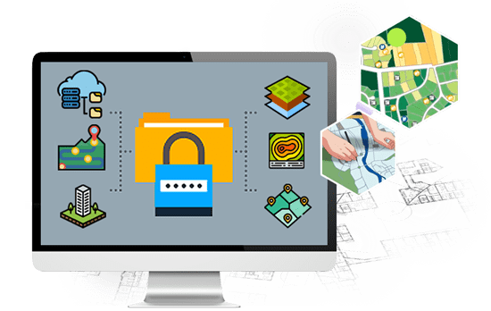
In an increasingly digital world, the transformation of land maps and land records into digital formats is essential for efficient land management. At LAMS, we specialize in Land Map and Land Record Digitalization services, ensuring that your land data is easily accessible, organized, and ready to support your land management decisions.
Our Land Map & Land Record Digitalization Services Include
-
Digitalization of Land Maps
We bring your physical land maps into the digital age, creating digital representations that are not only easily accessible but also interactive. This transformation empowers you to view, analyze, and update land maps effortlessly.
-
Land Record Digitalization
Transitioning from paper-based land records to digital formats streamlines data management. Our services ensure that your land records are digitized, allowing for efficient retrieval and management of vital information.

Frequently Asked Questions
Below is a comprehensive FAQ section on the topic 'Land Map and Land Record Digitalization,' providing answers to common questions about the process, benefits, and role of technology in digitizing land maps and records.
-
What is Digitalization of Land Records?
Digitalization of Land Records refers to the process of converting traditional paper-based land records into digital formats, making them easily accessible, searchable, and manageable. This process ensures transparency, accuracy, and efficiency in land management. Using a land management system or land software like LAMS (Land Asset Management System), digitalization enables secure storage, real-time updates, and efficient retrieval of land data. These features help streamline land record management, reduce disputes, and enhance decision-making, providing a comprehensive, GIS-based solution for effective land administration.
-
What is the Role of GIS in Digitalization of Land Records?
The role of GIS (Geographic Information System) in the digitalization of land records is crucial for enhancing accuracy, efficiency, and transparency in land management. GIS technology helps map and visualize land data, enabling precise geo-referencing and spatial analysis. By integrating GIS into a land management system or land software like LAMS, digitalized land records can display detailed property boundaries, ownership details, and land use patterns on interactive maps. This visual representation aids in accurate land surveys, reduces disputes, ensures proper land planning, and facilitates easy tracking of land assets, making the management process more efficient and reliable.
-
How LAMS Help to Land Record Digitization?
LAMSAPP plays a significant role in land record digitization by providing a comprehensive, GIS-based land management system designed to streamline and manage land data efficiently. It offers features like geo-referencing, land survey mapping, and digital storage of records, which help in converting traditional paper-based land documents into a structured digital format. By using land software like LAMSAPP, organizations can maintain accurate land records, track ownership details, manage leases, and update land assets in real-time. Its interactive map interface ensures transparency, minimizes disputes, and simplifies land asset management, making the digitization process seamless and reliable.
-
What Are The Benefits of Digitization of Land Records?
The digitization of land records offers numerous benefits, including:
-- Enhanced Accuracy: Digital records reduce errors and discrepancies commonly found in paper-based systems, ensuring accurate and up-to-date land data.
-- Transparency and Reduced Disputes: With a land management system like LAMS, all land information is easily accessible and transparent, minimizing land disputes and fraud.
-- Efficient Land Management: Digitization allows for easy retrieval and management of land data, streamlining processes such as land surveys, ownership transfers, and lease management through land software.
-- Time and Cost Savings: Digital records eliminate the need for manual paperwork, speeding up processes and reducing administrative costs.
-- Real-Time Updates: Any changes in land ownership, boundaries, or status can be updated in real-time, ensuring that the information remains current.
-- Improved Decision-Making: The GIS integration in digital land management provides visual insights, aiding in better decision-making for land planning, development, and sustainable use.
--Accessibility and Convenience: Digitized records are accessible from anywhere, allowing stakeholders, authorities, and landowners to view and manage land information easily.
These benefits make land record digitization essential for modern, efficient, and sustainable land management.
Contact Us
Ready to elevate your land management experience with LAMS? Get started today to experience the future of land management firsthand. Contact us for a demo, request a quote, or explore our solutions to see how LAMS can transform the way you manage your land assets.
