What We Do
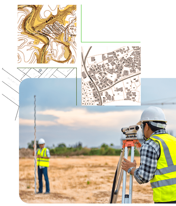
We understand that accurate land surveying forms the cornerstone of effective land management. Our Land Survey services leverage advanced technology, including DGPS (Differential Global Positioning System) and Total Station, to provide you with comprehensive and precise land data. With our expertise, you can navigate the complexities of land management with confidence and precision.
Our Land Survey Services Include
-
Survey & Mapping of Land Parcels
In the ever-evolving landscape of land ownership, staying up-to-date is crucial. We employ DGPS and Total Station technology to conduct surveys and create detailed maps of land parcels, reflecting the current scenario. This ensures that you have the most accurate and current information at your disposal for decision-making.
-
Survey & Mapping of Project Location
For successful project planning and execution, a clear understanding of the project location is essential. Our survey and mapping services provide a detailed view of project sites, enabling you to make informed decisions and optimize project outcomes.
-
Survey and Mapping of R&R Plots, Colonies, and Townships
Resettlement and Rehabilitation (R&R) efforts require precision and foresight. We specialize in surveying and mapping R&R plots, colonies, and townships, ensuring that these areas are well-defined, planned, and integrated into your land management strategy.

Frequently Asked Questions
With LAMS, you have the freedom to configure, customize, and integrate the system to match your company's unique approach to land management and R&R. Additionally, you can tailor the user interface and user experience, fostering seamless collaboration with other software solutions while delivering a personalized and intuitive interface for your users.
-
What Is a Land Survey?
A land survey is the process of determining the legal boundaries, dimensions, and area of a parcel of land. It also helps identify natural and man-made features on the property.
-
What are the Different Types of Land Surveys?
-- Boundary Survey
-- Topographic Survey
-- Construction Survey
-- Subdivision Survey
-- Cadastral Survey
-- As-built Survey
-- ALTA/NSPS Land Title Survey
-
What Is The Importance of a Land Survey?
Land surveys are crucial for establishing property boundaries, avoiding legal disputes, aiding in construction and development, and ensuring accurate land records for transactions.
-
What is GIS and How Is It Used in Land Surveying?
Geographic Information System (GIS) is used in land surveying to capture, store, analyze, and display spatial and geographic data, providing detailed and interactive maps.
Contact Us
Ready to elevate your land management experience with LAMS? Get started today to experience the future of land management firsthand. Contact us for a demo, request a quote, or explore our solutions to see how LAMS can transform the way you manage your land assets.
